Tag: PR-TF83.5
-

Barranco de la Orchilla
—
by
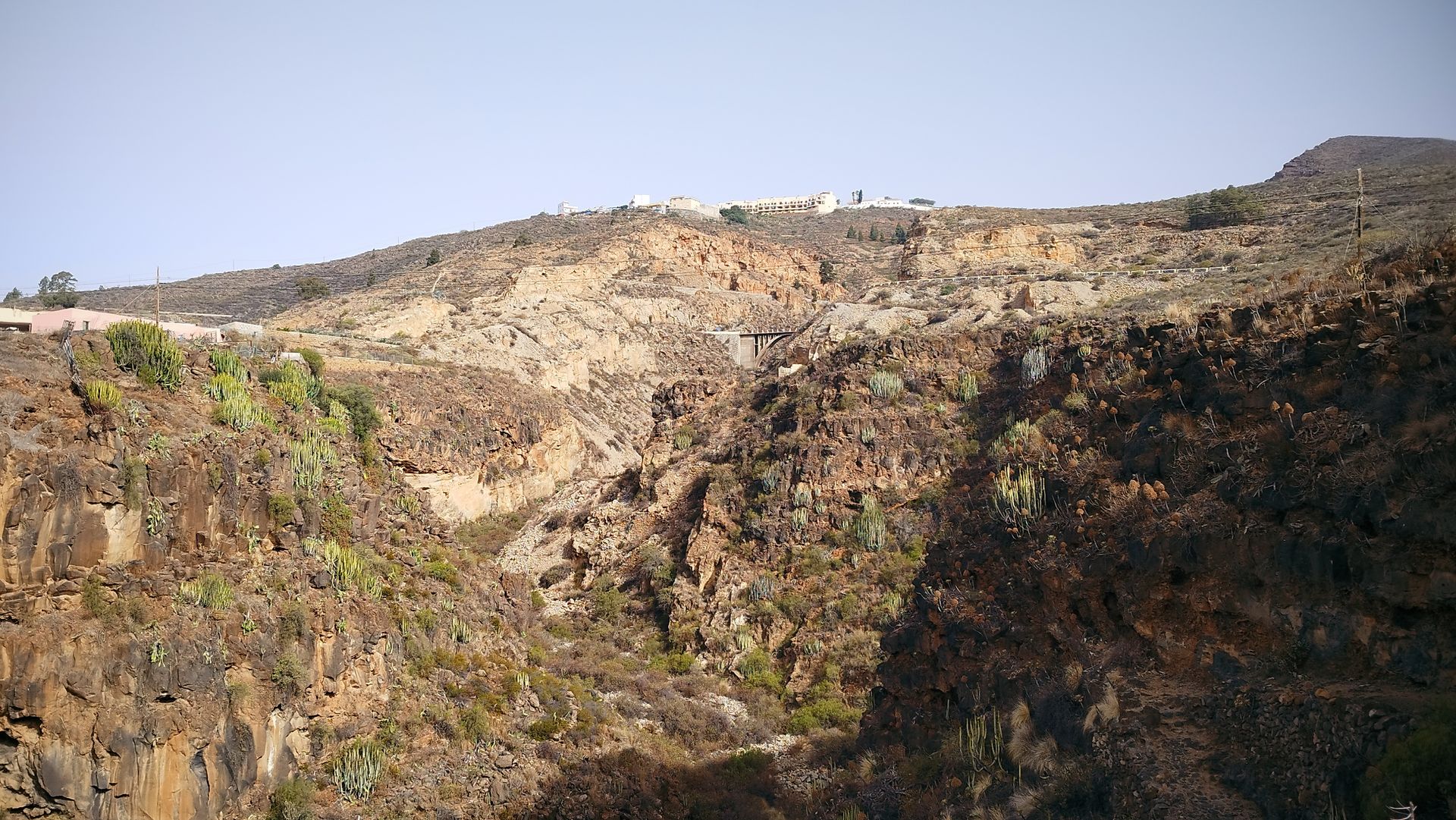
The Camino Real had to overcome a multitude of obstacles to connect the south Connecting the island’s capital with the area of Abona required overcoming the deep ravines, steep slopes and arid wastelands of the south of Tenerife. This was also the case for the Carretera General del Sur, which reached San Miguel de Abona…
-

Mirador de Chiñama
—
by
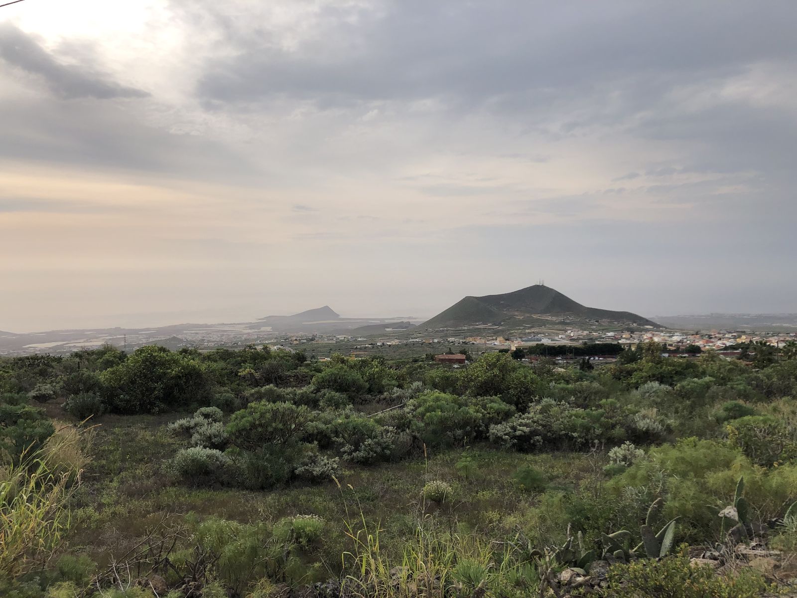
This viewpoint offers a panoramic view of the history of Abona This viewpoint offers a wide panoramic view of the Abona region that allows us to understand how the settlement developed. While the Camino Real ran through the midlands, other roads connected each locality with the coast and their respective natural wharfs. The agricultural estates…
-

Charco del Pino
—
by
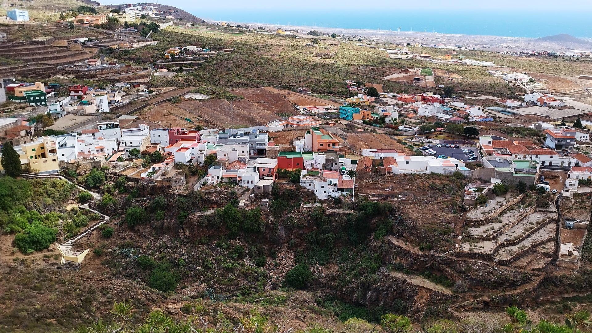
The water of Chiñama provided the village with water to drink. The nucleus of Chiñama and Charco del Pino, like so many other pagos and villages in the Canary Islands, developed in this place because there was water available for the settlement of the population. Some say that “Chiñama” is a Guanche word meaning “fountain”…
-

Ermita del Pinito
—
by
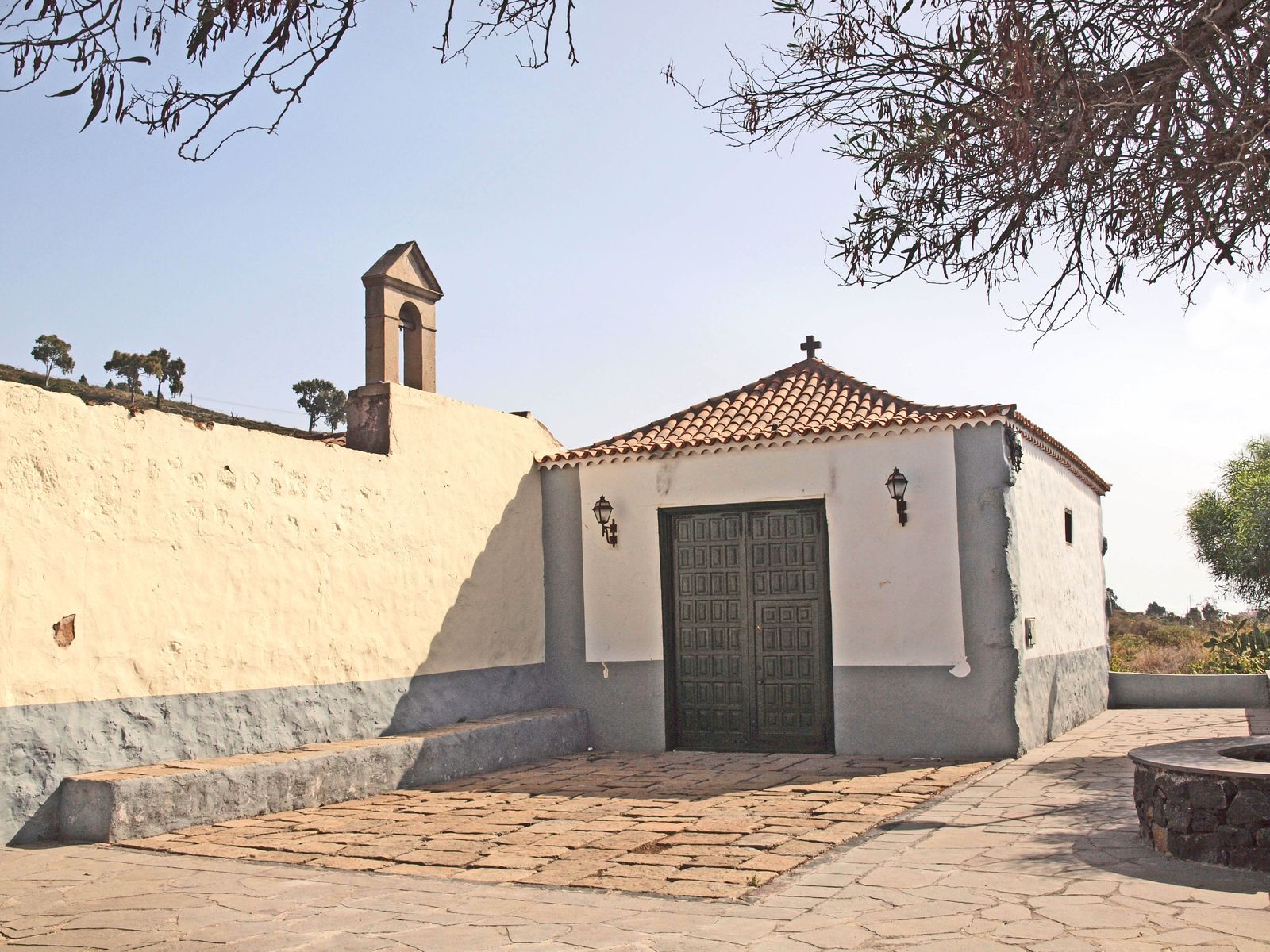
The Pinito wayside shrine survives the hacienda where it was born In 1725, the ensign Pedro González del Castillo began the construction of this small private chapel on his family’s estate in Chiñama. The work was completed in 1731, but the first feast in honour of the Virgen de las Nieves, to whose name it…
