Author: Itinerarios Paisajísticos
-
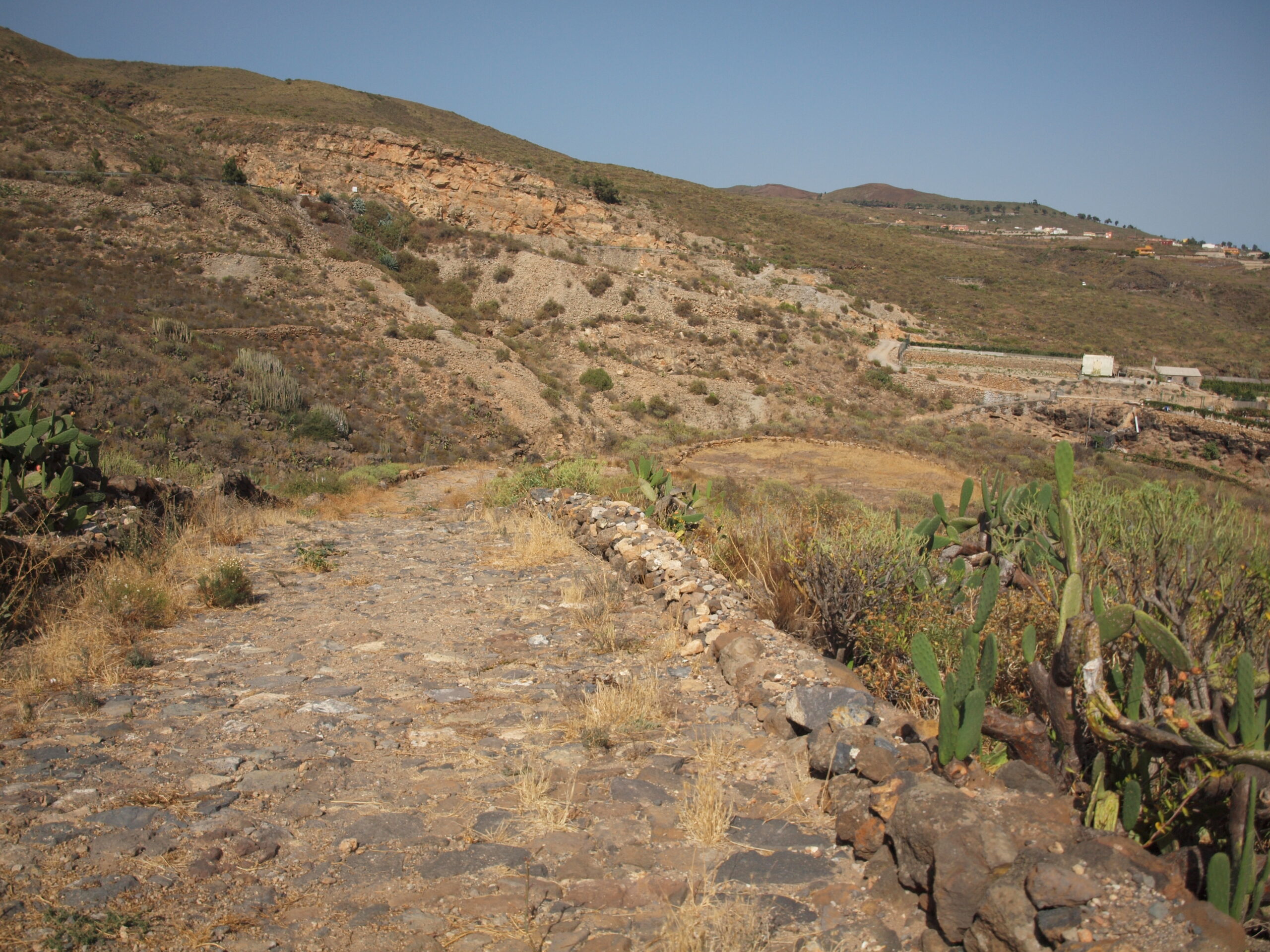
PR-TF 83.5 Camino Real Granadilla-San Miguel
The Camino Real del Sur was built in the second half of the 16th century to communicate the capital with the main towns in the south of the island. This trail is an opportunity to get to know the cultural and ethnographic heritage associated with this important communication route. The route starts at Las Aguilillas…
-
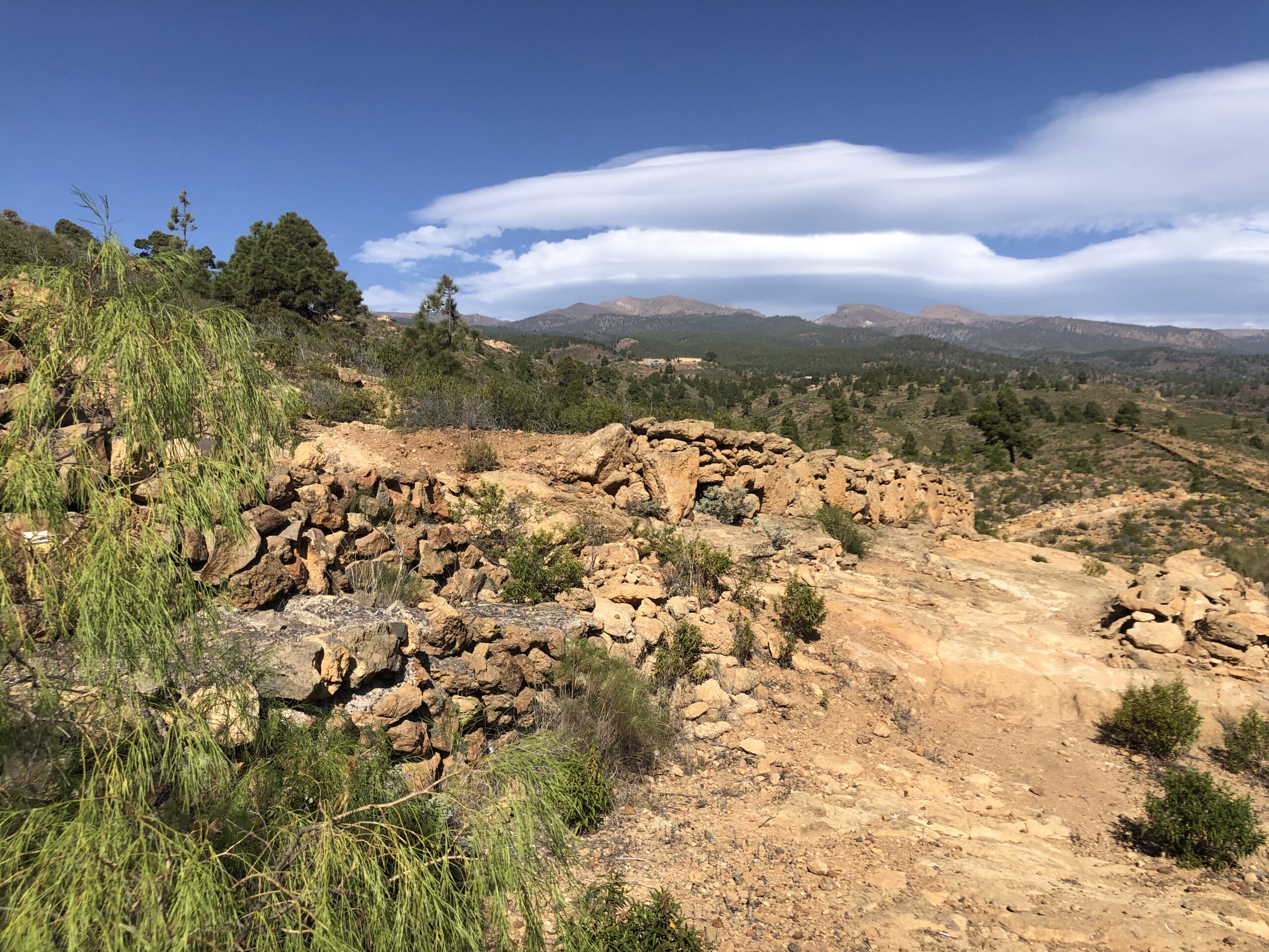
PR-TF 83.4 Camino Real Granadilla-Las Vegas
This trail connects the urban center of Granadilla with the hamlet of Las Vegas, the first population center of the municipality. Before the arrival of the Carretera General del Sur in the fifties of the 20th century, the internal communications between the villages of the lower midlands and the exchange of products was articulated mainly…
-
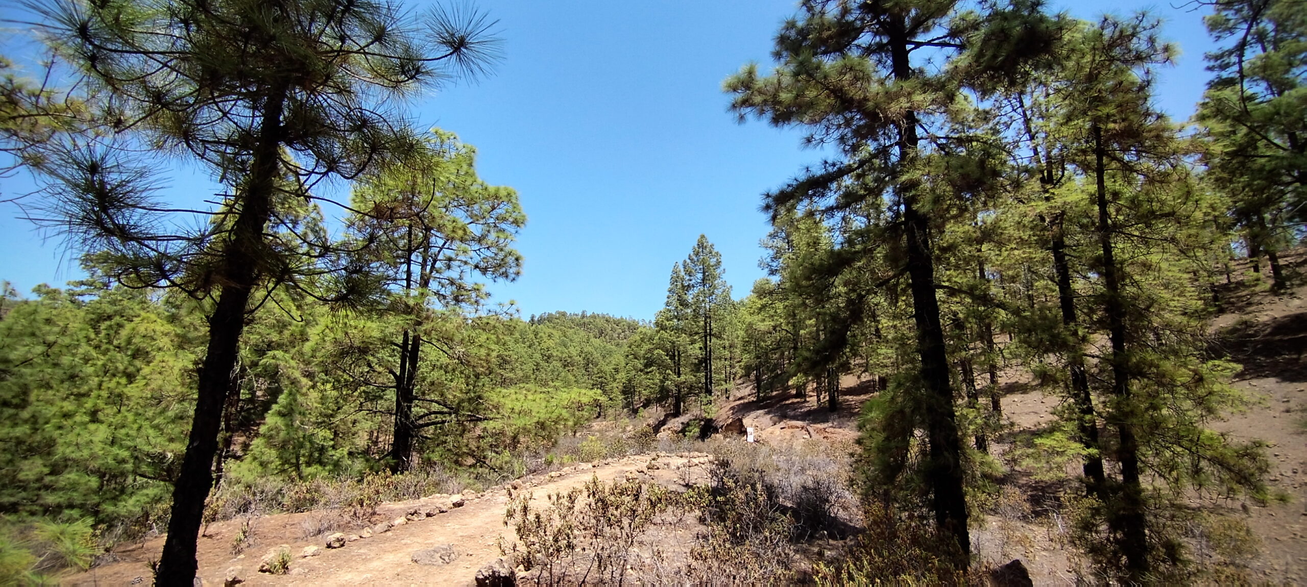
PR-TF 83.3 Circular Las Vegas-La Higuera-Tames
This circular path takes us into the high midlands of the municipality to learn about the history of the exploitation of the pine forests of the south. The need for pitch to caulk ships on their voyage to America led to the proliferation of kilns that distilled it from the wood of the Canary Island…
-
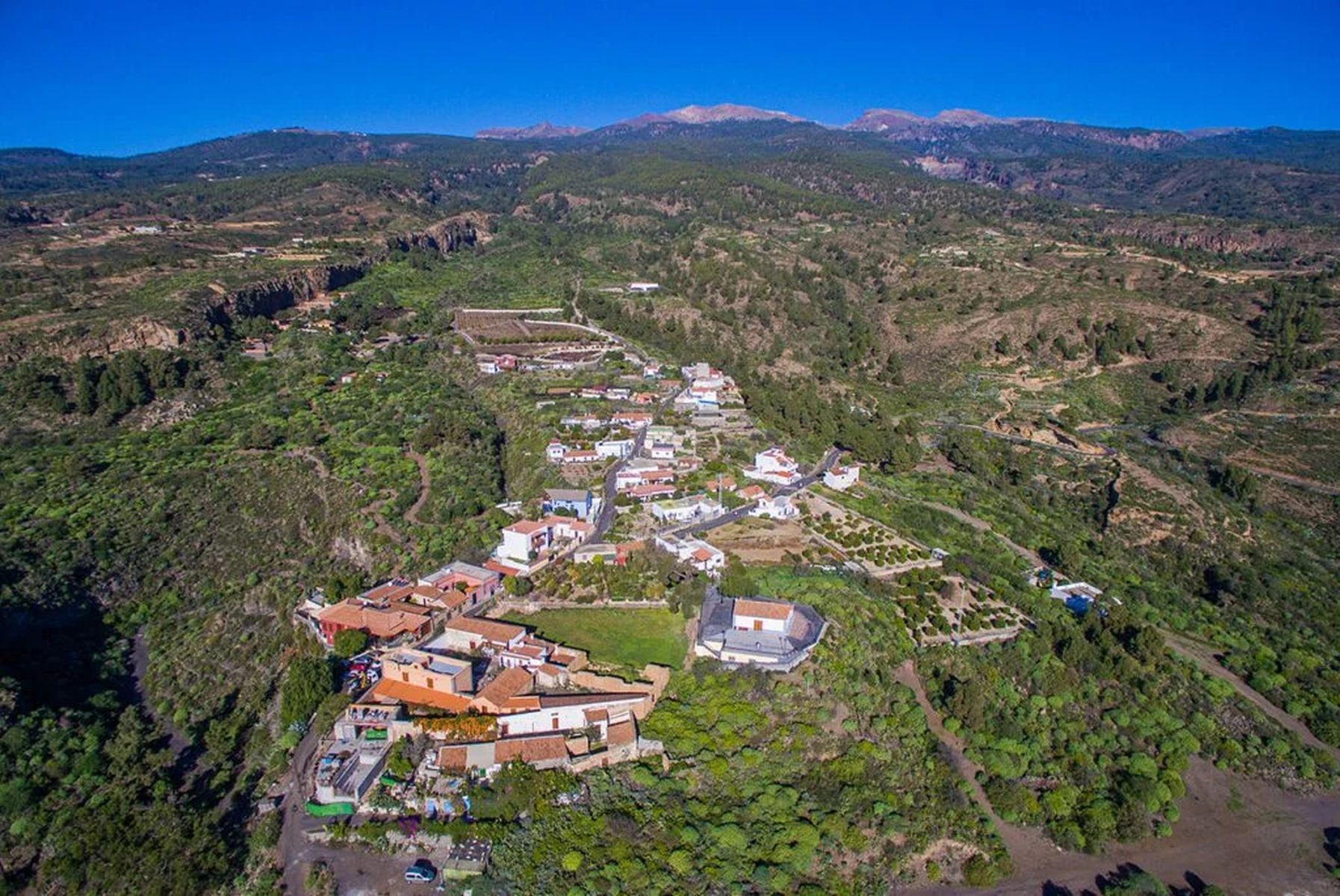
PR-TF 83.2 Circular de Las Vegas
This short circular route allows you to get to know the small hamlet of Las Vegas, located in the upper midlands of Granadilla de Abona. Today it is the smallest and most isolated village in the municipality, but it is also the oldest. After the conquest of the island and the distribution of the land,…
-
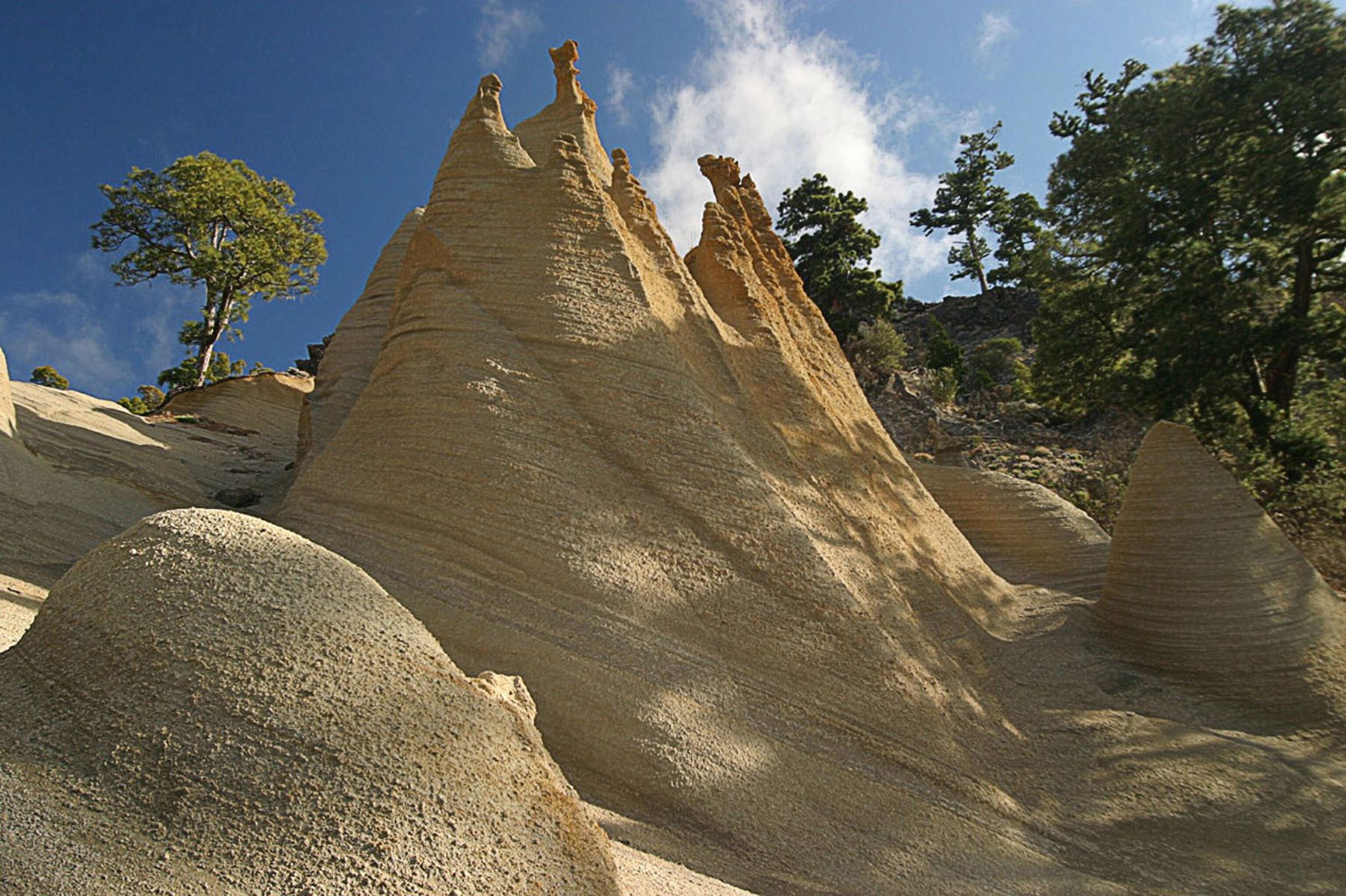
PR-TF 83.1 Las Vegas-Paisaje Lunar
This trail connects Las Vegas with Los Escurriales, an area popularly known as the Lunar Landscape. Las Vegas was the first Castilian settlement in the municipality of Granadilla de Abona and along the way you can learn some secrets about its volcanic origin and rich cultural heritage. At the end of the path you will…
-
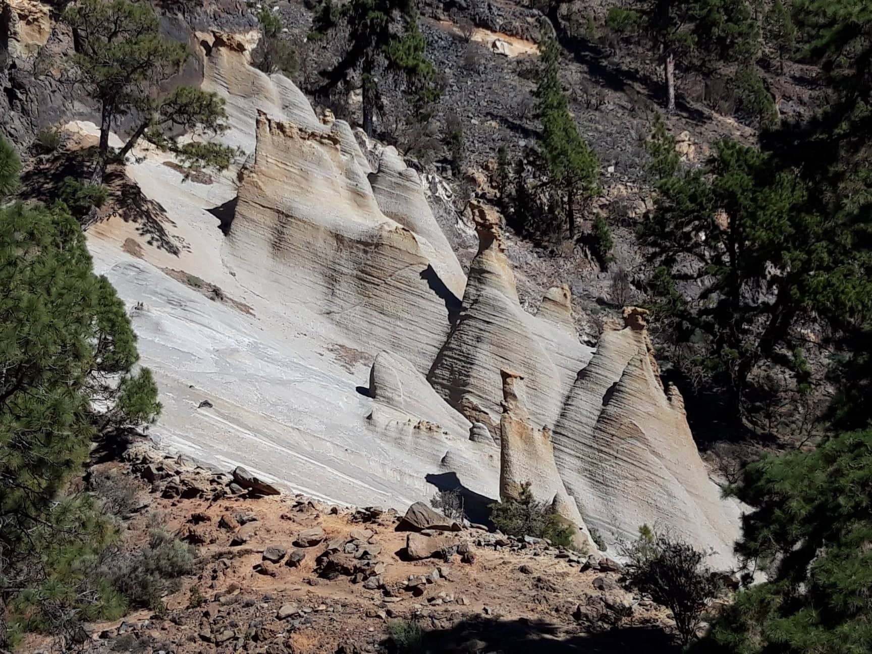
PR-TF 83 Granadilla-Paisaje Lunar
PR-TF 83 Granadilla – Paisaje Lunar (Lunar Landscape) This trail connects the urban center of Granadilla with the Cruz de Tea and the peaks of the municipality, reaching the viewpoint of Los Escurriales, also known as the Paisaje Lunar (Lunar Landscape). It is one of the derivations of the historical trail called Camino de Chasna,…
-
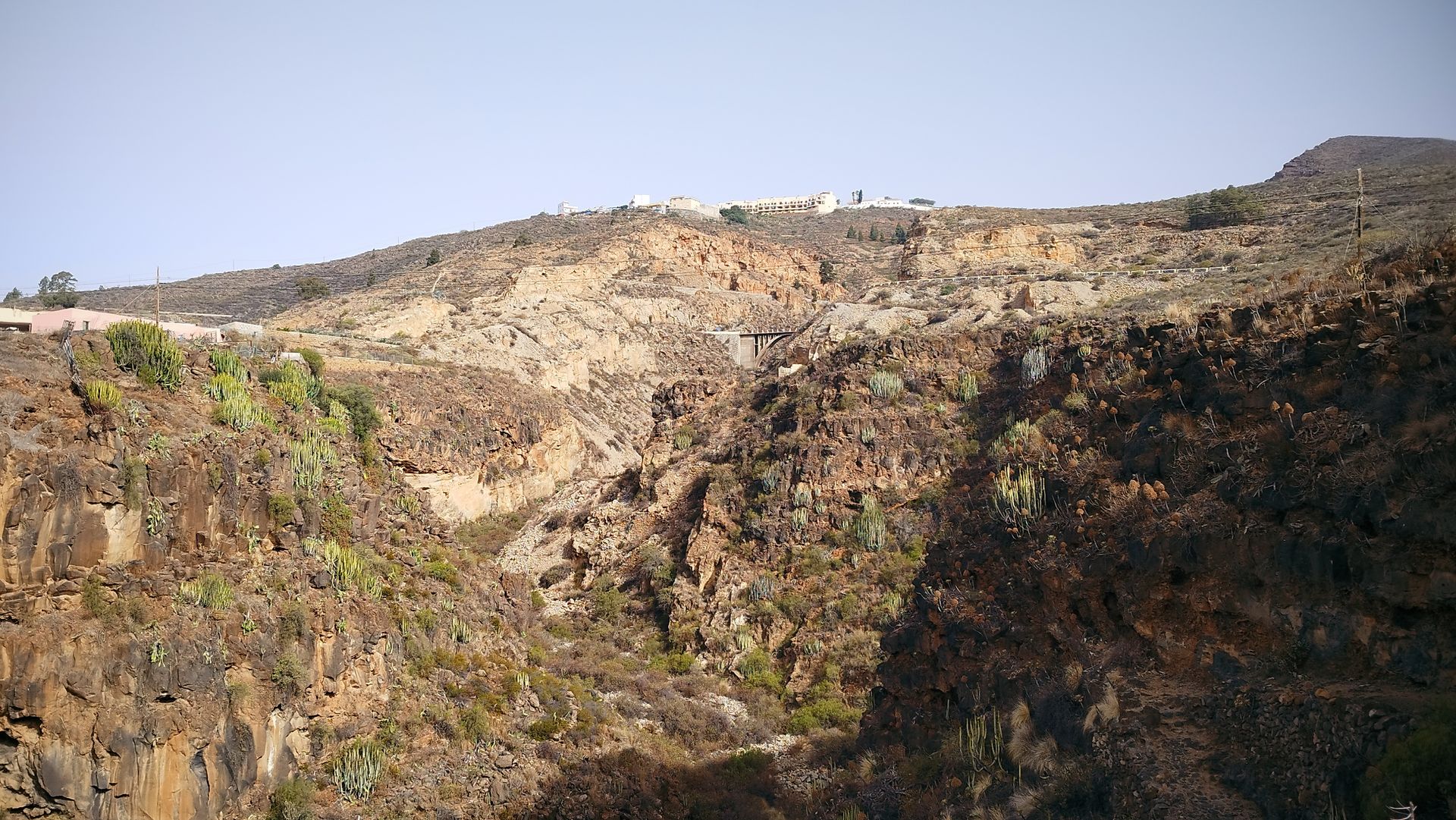
Barranco de la Orchilla
—
by
The Camino Real had to overcome a multitude of obstacles to connect the south Connecting the island’s capital with the area of Abona required overcoming the deep ravines, steep slopes and arid wastelands of the south of Tenerife. This was also the case for the Carretera General del Sur, which reached San Miguel de Abona…
-
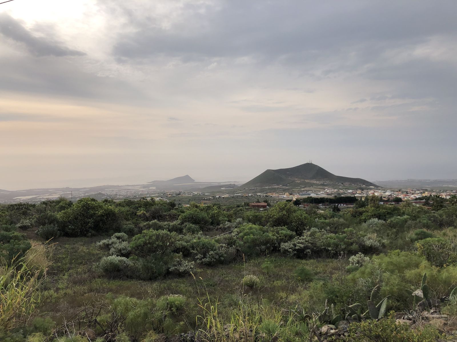
Mirador de Chiñama
—
by
This viewpoint offers a panoramic view of the history of Abona This viewpoint offers a wide panoramic view of the Abona region that allows us to understand how the settlement developed. While the Camino Real ran through the midlands, other roads connected each locality with the coast and their respective natural wharfs. The agricultural estates…
-
Charco del Pino
—
by
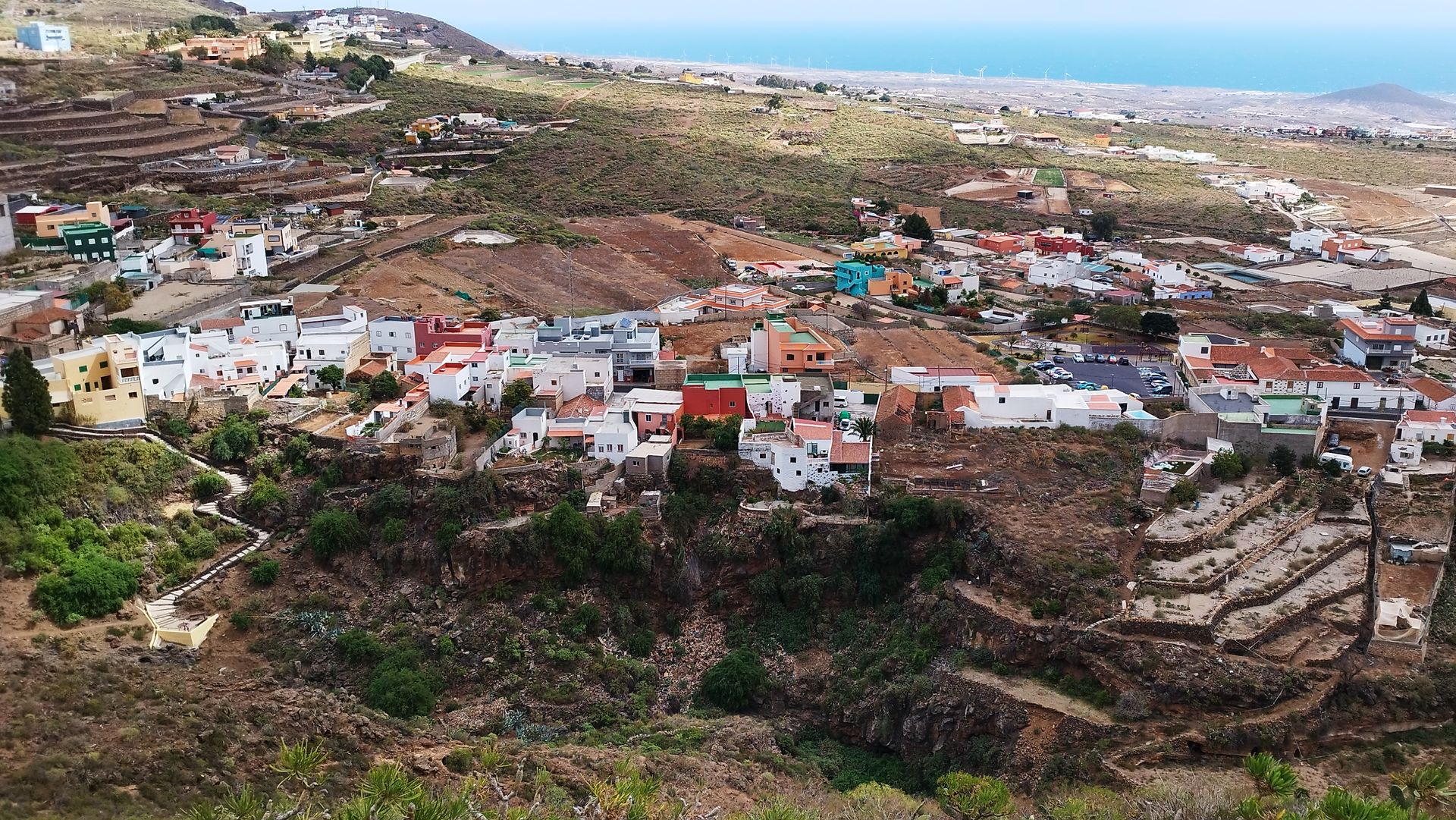
The water of Chiñama provided the village with water to drink. The nucleus of Chiñama and Charco del Pino, like so many other pagos and villages in the Canary Islands, developed in this place because there was water available for the settlement of the population. Some say that “Chiñama” is a Guanche word meaning “fountain”…
-
Ermita del Pinito
—
by
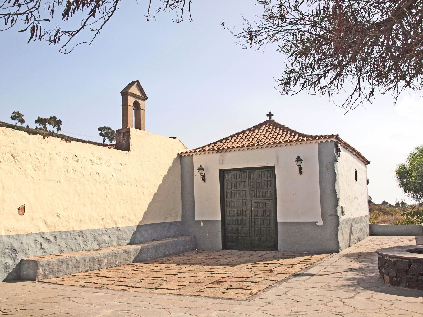
The Pinito wayside shrine survives the hacienda where it was born In 1725, the ensign Pedro González del Castillo began the construction of this small private chapel on his family’s estate in Chiñama. The work was completed in 1731, but the first feast in honour of the Virgen de las Nieves, to whose name it…
