PR-TF 83.4 Granadilla-Las Vegas
PR-TF 83.5 Granadilla-San Miguel
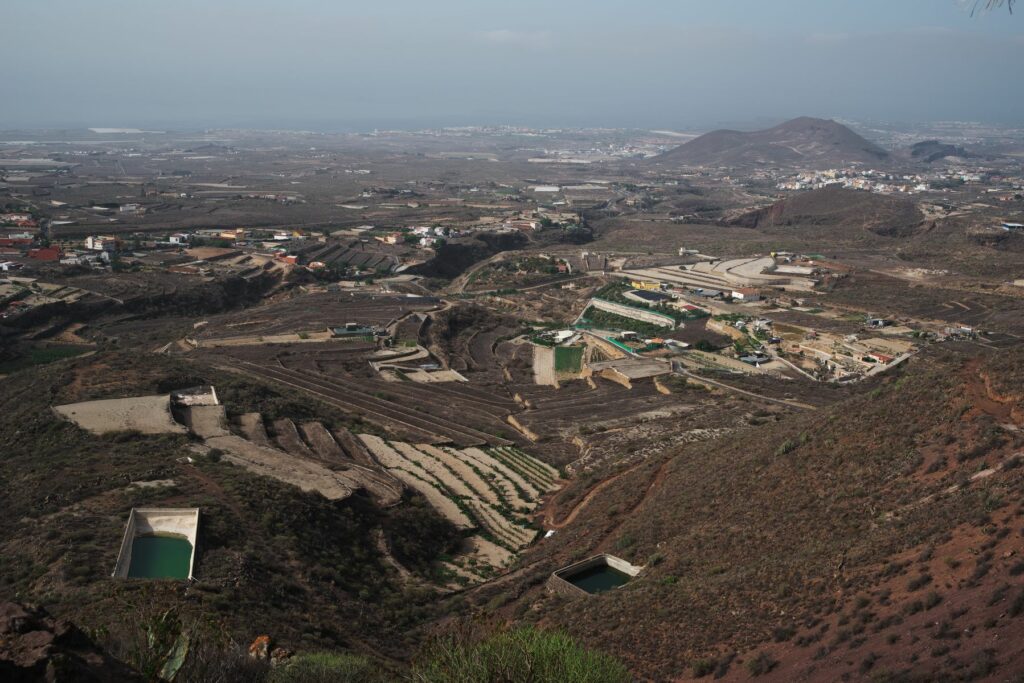
The arid landscape of the coast of Granada contrasts with that of the low midlands, located between 300 and 600 metres above sea level, where jable agriculture predominates.

This itinerary offers a complete view of a landscape that combines agricultural tradition, history and natural wealth, highlighting the balance between human use and conservation of the environment.
The jable plays a key role in retaining moisture in the soil, protecting plants from the sun, reducing evaporation and acting as a natural fertiliser that gradually releases nutrients.
This traditional practice makes use of the volcanic sand from the pumice rocks in the south of the island, known as jable, to improve cultivation conditions. Throughout history, products such as potatoes, vegetables, vines and even tobacco have been grown in these areas in a sustainable manner.
In addition to its agricultural importance, this landscape is notable for its cultural and ecological value, reflecting the historical interaction between the inhabitants and their natural environment. It is home to a rich biodiversity with species such as tabaibas, cactus, gorse and verodes, along with a variety of birds, reptiles and mammals, such as the black lizard and several species of bats.
The Camino Real was for centuries a key part of the economy of the south of the island, until the Carretera General del Sur replaced it in the 1950s.
From the town centre of Granadilla, you can walk through this unique environment along the historic Camino Real del Sur (Royal Road of the South). This ancient path not only facilitated internal communications between the villages of the lower midlands, but was also essential for trade.
We invite you to explore the Camino Real, not only as a testimony of the past, but also as a space for learning and connection with the environment that propels us towards a more sustainable future.
Built in the second half of the 16th century, this road connected the capital with the main towns in the south of the island. The PR-TF 83.5 and PR-TF 83.4 trails allow you to explore the main centres of the lower midlands.
Towards San Miguel de Abona, the path passes through Charco del Piño and Chiñama, while towards Las Vegas it crosses the hamlets of Vicácaro, Chávez and Los Blanquitos.
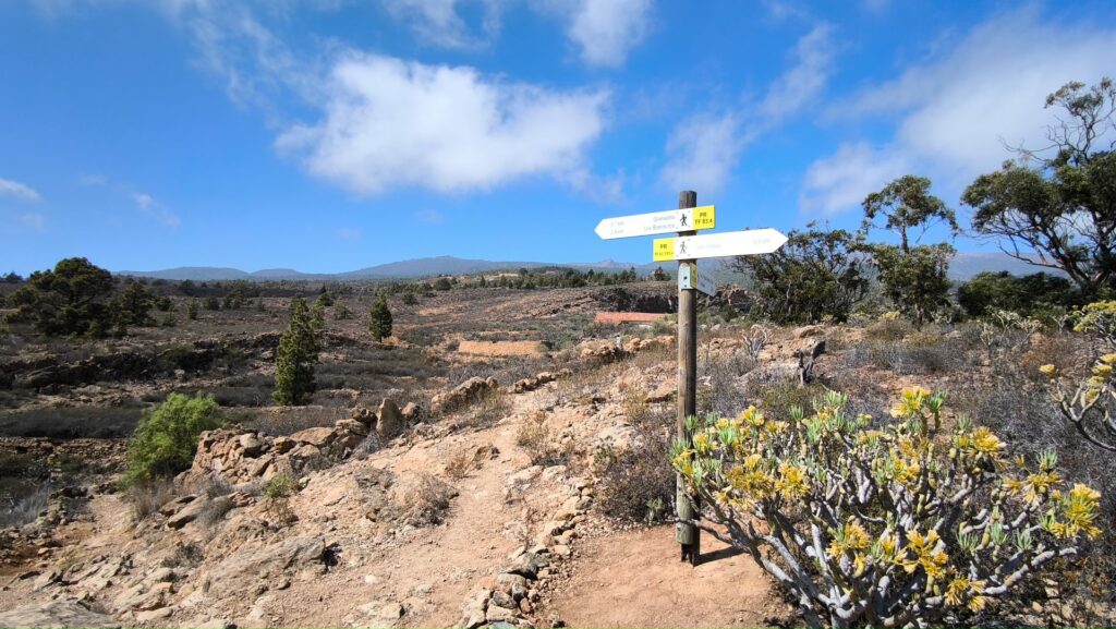
Signpost in the Tejal area.

-
PR-TF 83.4 Camino Real Granadilla-Las Vegas
This trail connects the urban center of Granadilla with the hamlet of Las Vegas, the first population center of the municipality. Before the arrival of the Carretera General del Sur in the fifties of the 20th century, the internal communications between the villages of the lower midlands and the exchange of products was articulated mainly…
-
PR-TF 83.5 Camino Real Granadilla-San Miguel
The Camino Real del Sur was built in the second half of the 16th century to communicate the capital with the main towns in the south of the island. This trail is an opportunity to get to know the cultural and ethnographic heritage associated with this important communication route. The route starts at Las Aguilillas…
