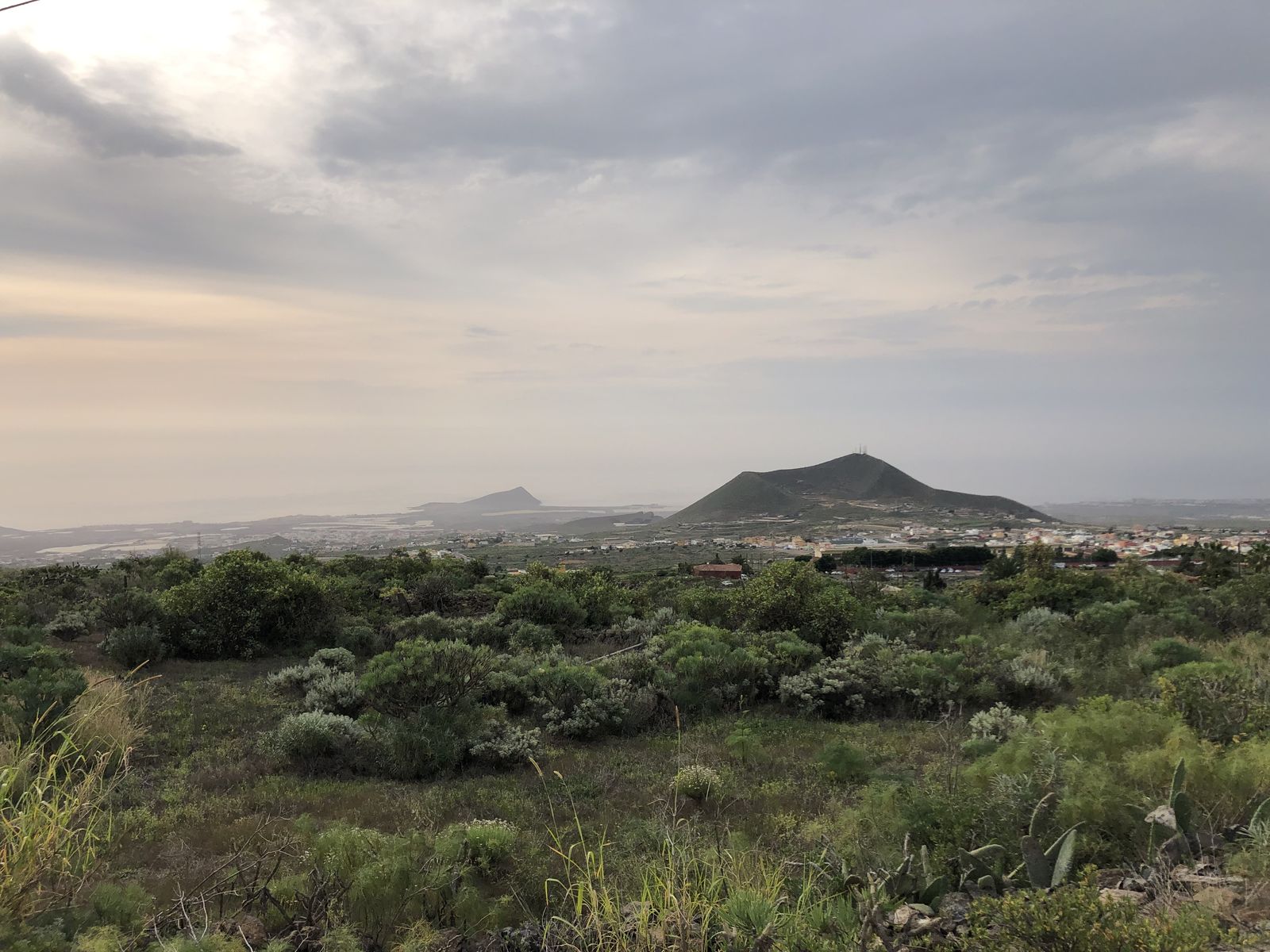
This viewpoint offers a panoramic view of the history of Abona
This viewpoint offers a wide panoramic view of the Abona region that allows us to understand how the settlement developed. While the Camino Real ran through the midlands, other roads connected each locality with the coast and their respective natural wharfs.
The agricultural estates and the houses of the new settlers spread along these roads. The hamlet was built around the original Guanche settlement of Chiñama. The name Charco del Pino appears as early as the 16th century, as the name of the place, in allusion to the puddle or “ere” of the ravine, located a few metres from here at the bottom of the riverbed.
With the arrival of the water from the Canal del Sur, the jable orchards became more productive. Potatoes, tomatoes, tobacco and, later, greenhouses and flowers, followed one after the other in this rural landscape and generated significant wealth. Today the main activity in the region is tourism and the services associated with this important industry. Agricultural activity is also maintained, with viticulture playing an important role and playing an essential role in maintaining the landscape.
Until well into the 20th century, coastal shipping played an important role in the commercial activity of the south of Tenerife. The region’s products and travellers embarked by sea to the capital of the island and to European destinations, avoiding the difficult journey by land.

