Categoría: Sin categoría
-
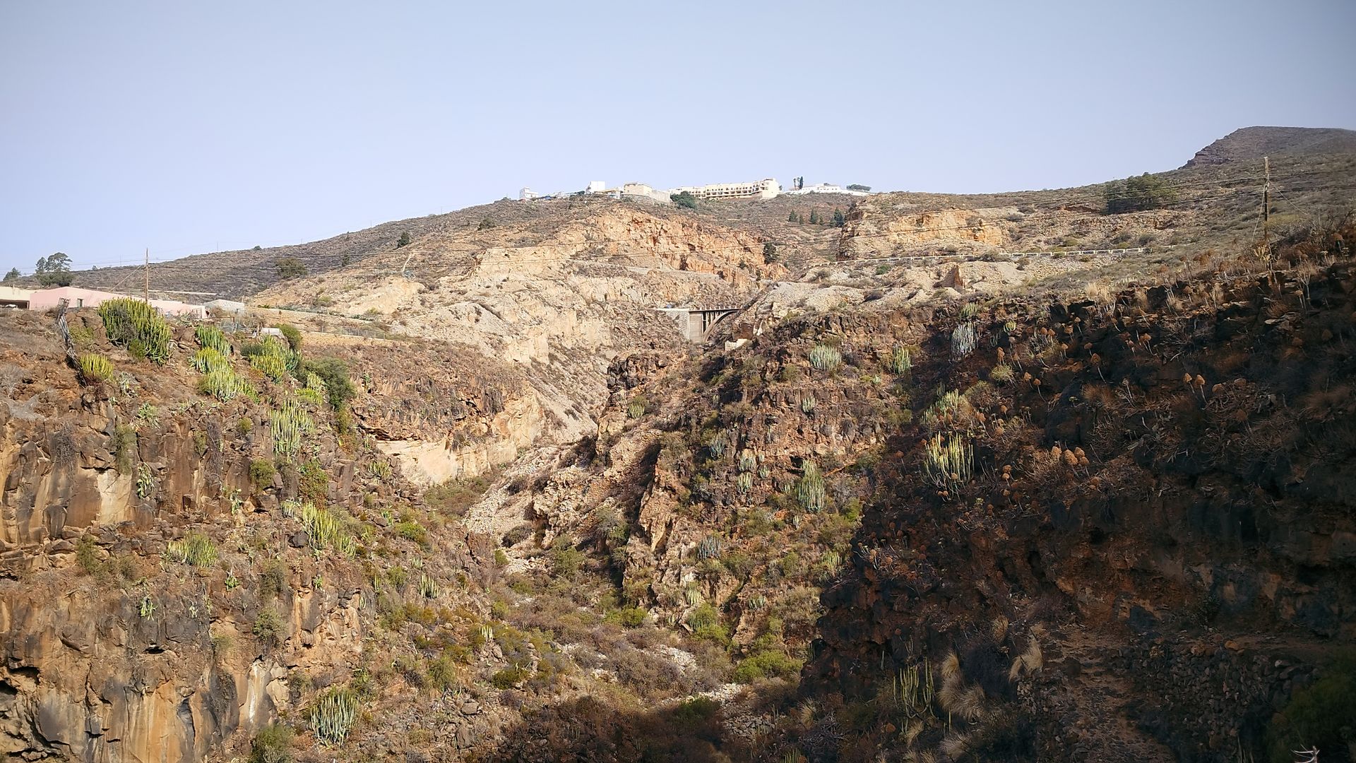
Barranco de la Orchilla
The Camino Real had to overcome a multitude of obstacles to connect the south Connecting the island’s capital with the area of Abona required overcoming the deep ravines, steep slopes and arid wastelands of the south of Tenerife. This was also the case for the Carretera General del Sur, which reached San Miguel de Abona…
-
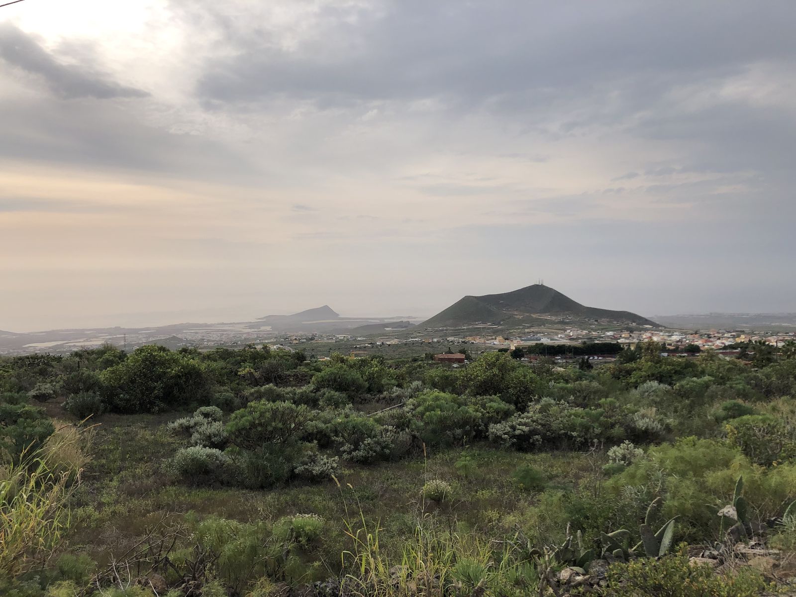
Mirador de Chiñama
This viewpoint offers a panoramic view of the history of Abona This viewpoint offers a wide panoramic view of the Abona region that allows us to understand how the settlement developed. While the Camino Real ran through the midlands, other roads connected each locality with the coast and their respective natural wharfs. The agricultural estates…
-
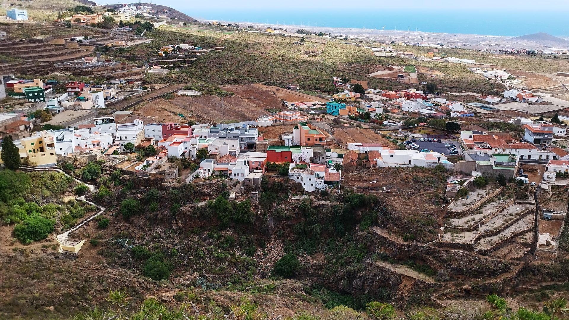
Charco del Pino
The water of Chiñama provided the village with water to drink. The nucleus of Chiñama and Charco del Pino, like so many other pagos and villages in the Canary Islands, developed in this place because there was water available for the settlement of the population. Some say that “Chiñama” is a Guanche word meaning “fountain”…
-
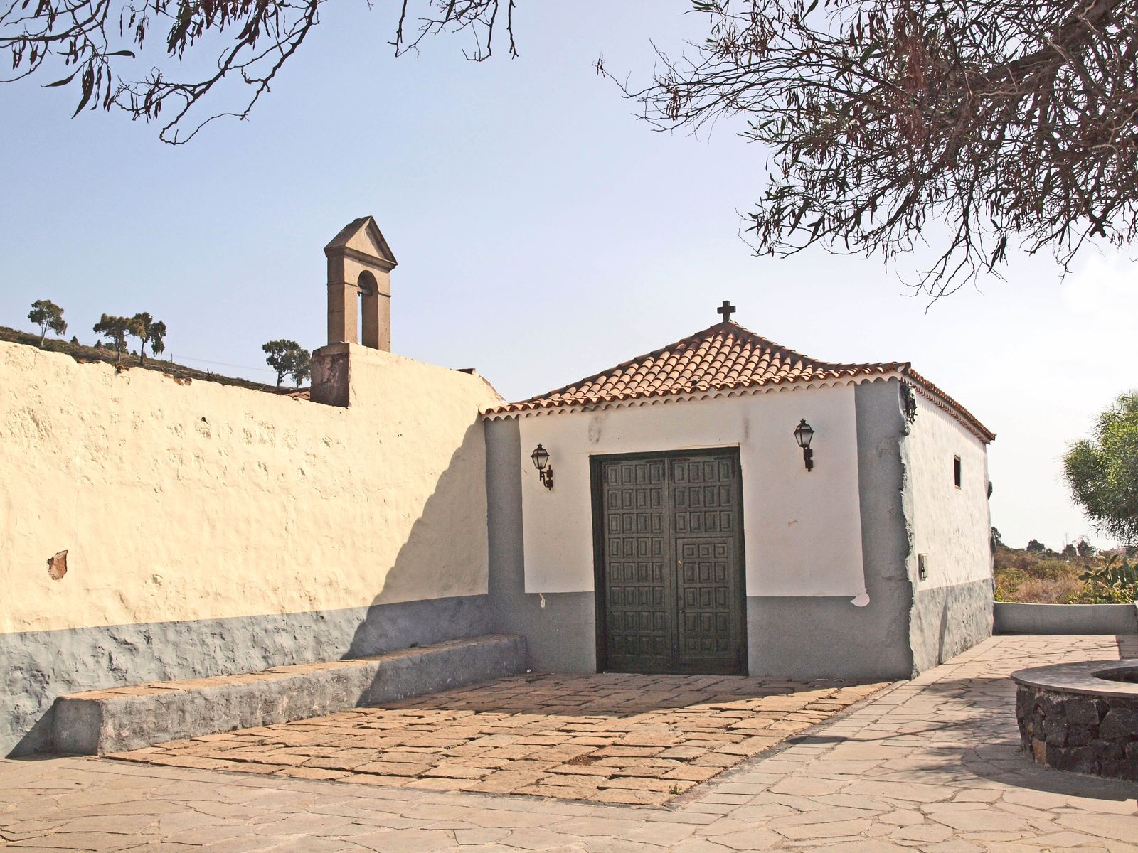
Ermita del Pinito
The Pinito wayside shrine survives the hacienda where it was born In 1725, the ensign Pedro González del Castillo began the construction of this small private chapel on his family’s estate in Chiñama. The work was completed in 1731, but the first feast in honour of the Virgen de las Nieves, to whose name it…
-
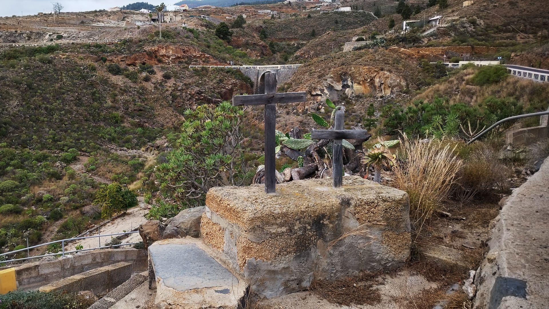
Los descansaderos
At the rest stops, strength was replenished to keep going. Along the Camino Real there are different religious manifestations: crosses, calvaries, hermitages and resting places. The latter were places used by funeral processions to stop on their way to the cemetery. In the past there were no roads, communications were carried out along the Camino…
-
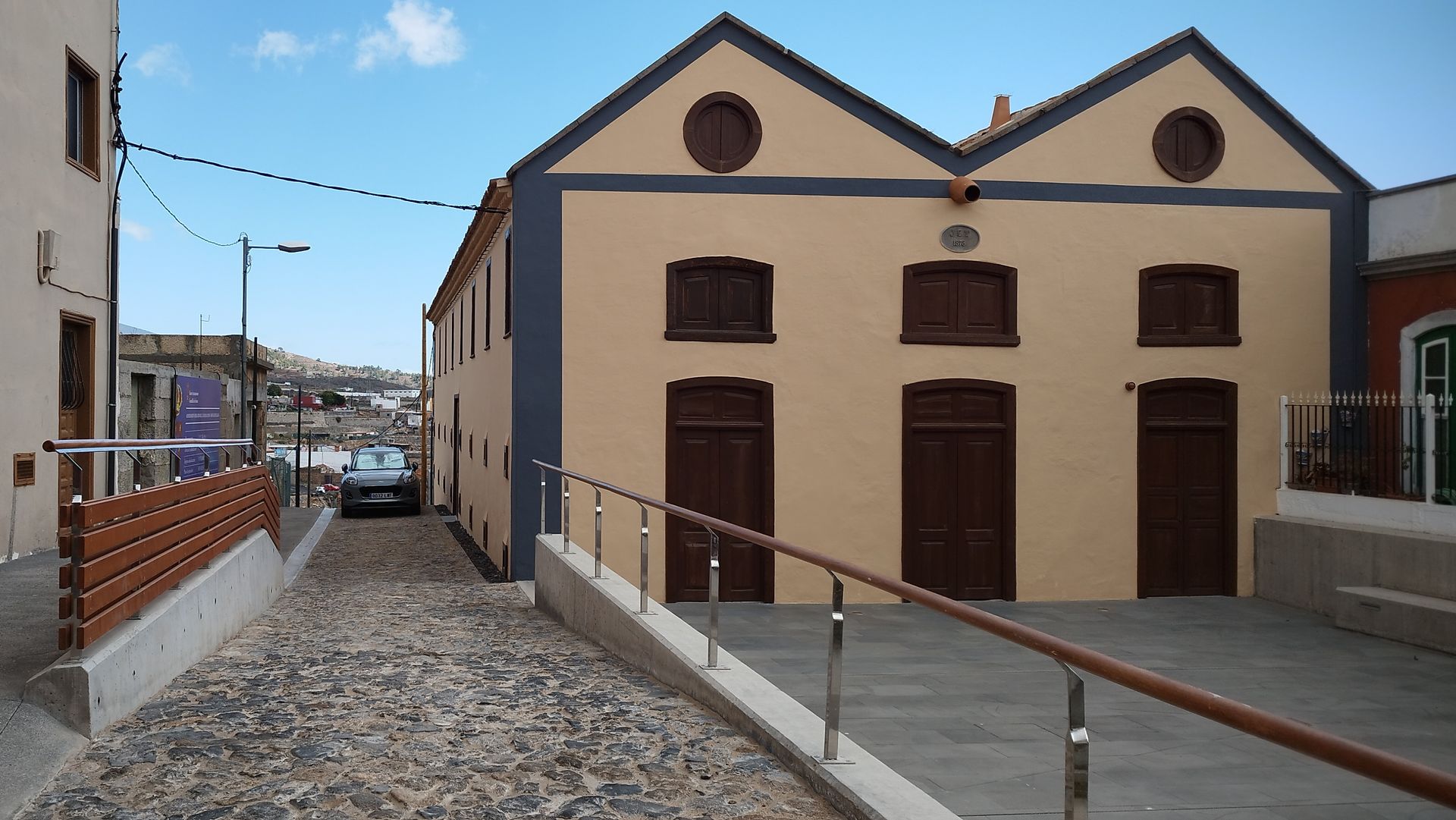
Secadero de tabaco
The products of the region circulated along the Camino Real The royal roads are so called because they belonged to the crown, although in the Canary Islands they depended on the island councils. They had to be seven metres wide, fenced off and zigzag across the slopes, but not all of them met these minimum…
-
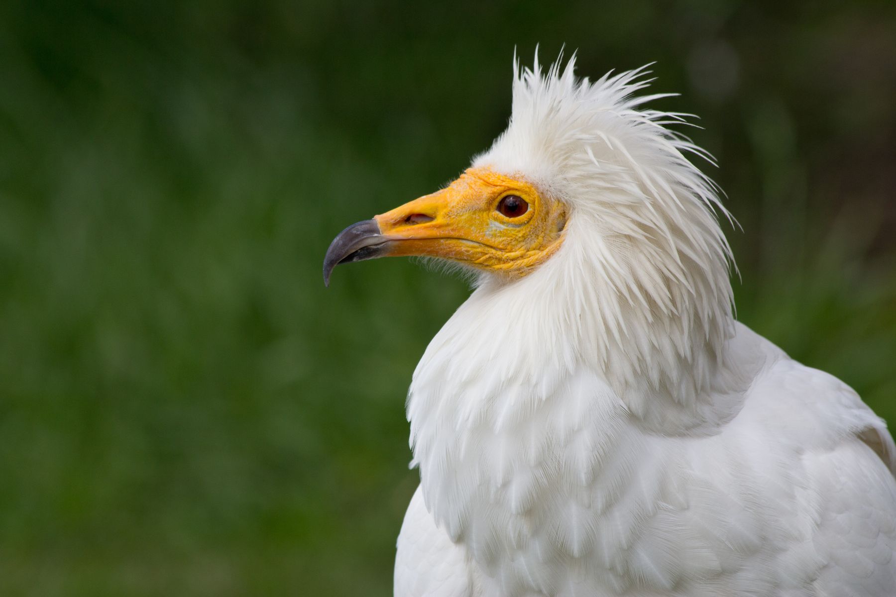
Pino del Guirre
The perch of the last vultures on the island. “Guirre” is what the Egyptian vulture (Neophron percnoterus majorensis) is popularly known in the Canary Islands. It is a species of vulture that flew over the skies of Tenerife until well into the 20th century. The abandonment of agriculture, poaching, poisons and, in general, the change…
-
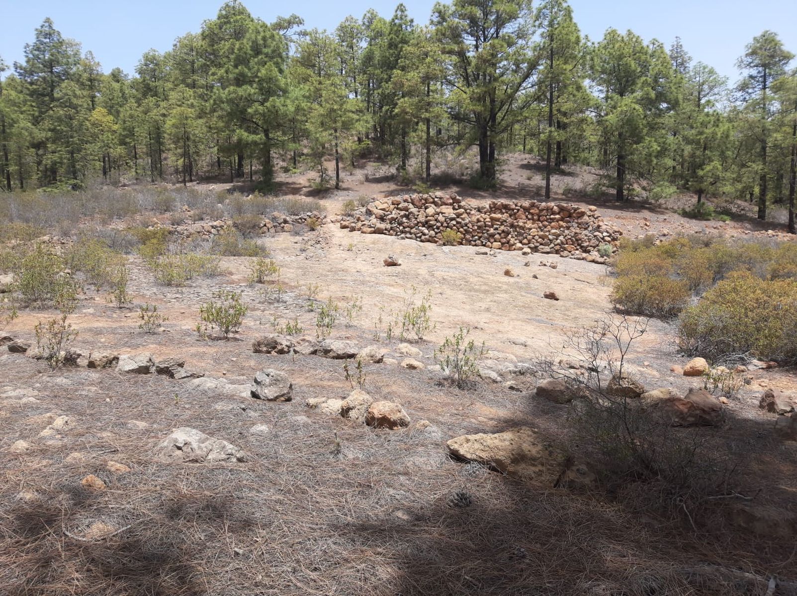
El Aserradero
The Las Vegas pine forest was an important source of raw materials. The magnificent pine forests in the south of Tenerife were tremendously exploited for the wealth contained within the old pine trees. The Canary Island pine became an extraordinary natural resource when the high quality of its inner wood was discovered: tea. This heartwood,…
-
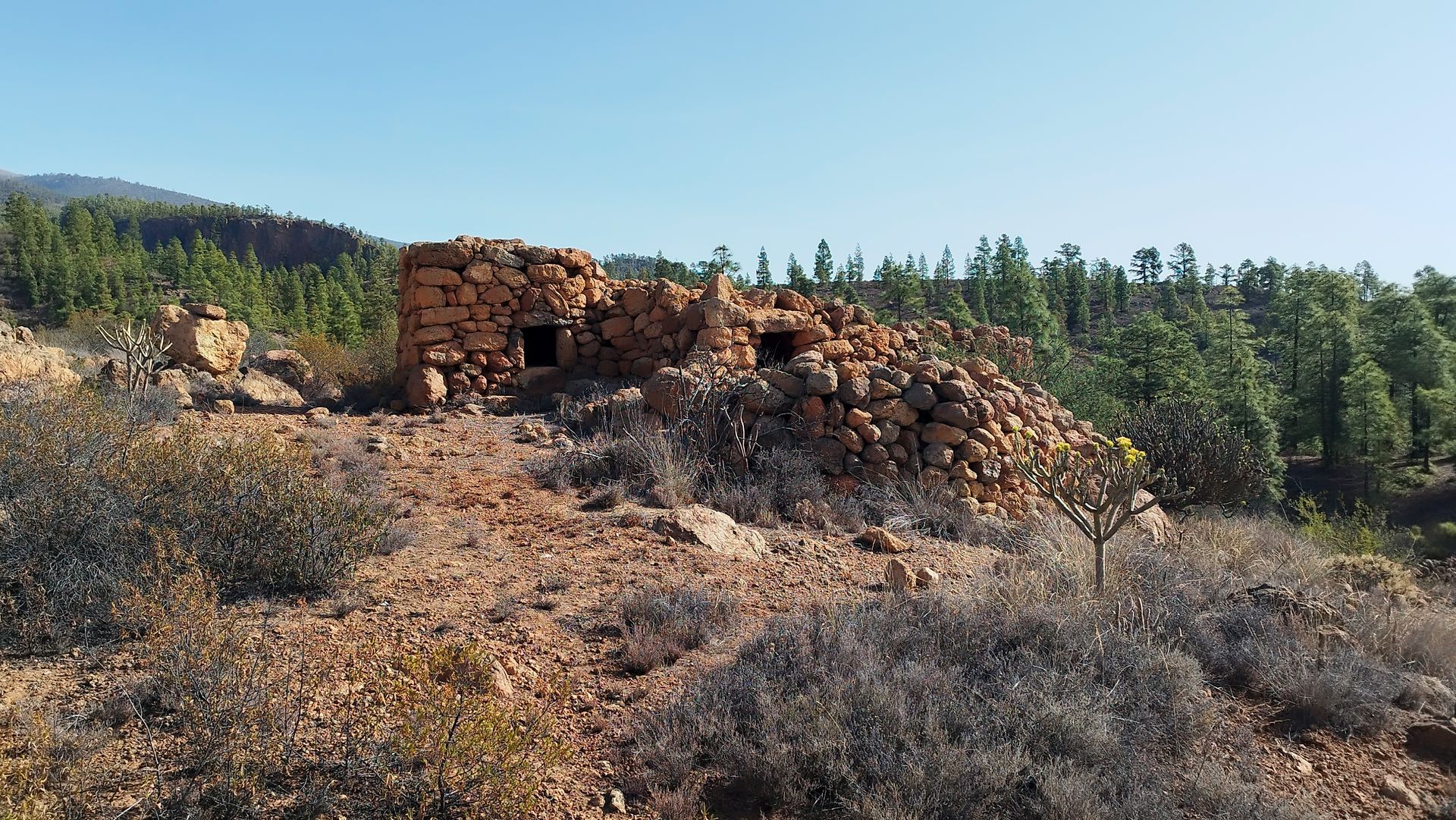
Los Hibrones
The hybrons or jibbons came down this way The Canarian term hibrón or jibrón refers to the timbers placed parallel to the pairs of a roof frame to receive the planking. However, on the islands of El Hierro and Tenerife, by extension, it refers to any kind of timber. This nucleus and road probably get…
-
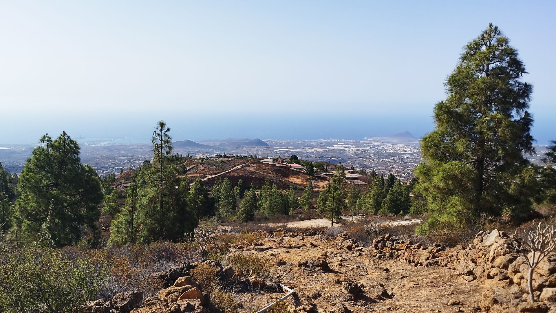
La Higuera
The legacy of the Canarian fig trees This district of Granadilla de Abona owes its name to one of the most appreciated trees in Canarian agriculture. The presence of the fig tree dates back to aboriginal times, long before the conquest of the islands, as ancient accounts and archaeological studies confirm. Figs played a fundamental…
